
Tash-Rabat topographic map
Interactive map
Click on the map to display elevation.
Tash-Rabat
Tash Rabat is a well-preserved 15th-century stone caravanserai in At-Bashy District, Naryn Province, Kyrgyzstan, located at an altitude of 3,200 metres (10,500 ft).
About this map
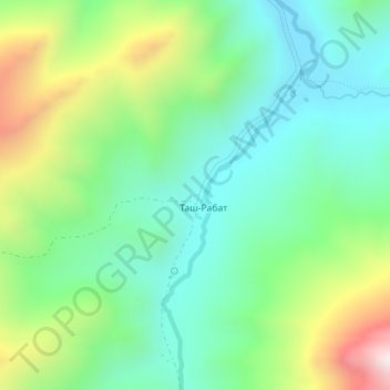
Name: Tash-Rabat topographic map, elevation, terrain.
Average elevation: 3,300 m
Minimum elevation: 3,047 m
Maximum elevation: 3,852 m