
Southwest Garden topographic map
Interactive map
Click on the map to display elevation.
About this map
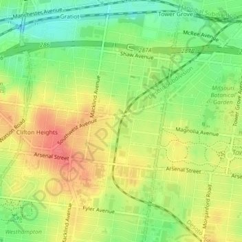
Name: Southwest Garden topographic map, elevation, terrain.
Average elevation: 160 m
Minimum elevation: 129 m
Maximum elevation: 188 m
Other topographic maps
Click on a map to view its topography, its elevation and its terrain.
Penrose
USA > Missouri > Saint Louis
Penrose, Saint Louis, City of Saint Louis, Missouri, 63115, USA
Average elevation: 153 m