
Toujounine topographic map
Interactive map
Click on the map to display elevation.
About this map
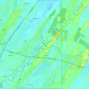
Name: Toujounine topographic map, elevation, terrain.
Location: Toujounine, Nouakchott, Mauritania (18.02989 -15.94880 18.14159 -15.88820)
Average elevation: 6 m
Minimum elevation: -3 m
Maximum elevation: 20 m