
St. Leon topographic map
Interactive map
Click on the map to display elevation.
About this map
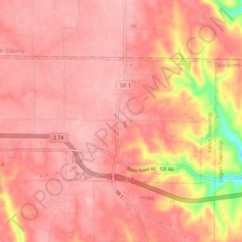
Name: St. Leon topographic map, elevation, terrain.
Location: St. Leon, Kelso Township, Dearborn County, Indiana, VS (39.27688 -85.00271 39.30679 -84.92834)
Average elevation: 288 m
Minimum elevation: 187 m
Maximum elevation: 315 m