
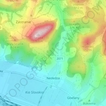
Nededza topographic map
Interactive map
Click on the map to display elevation.
Nededza
The municipality lies at an altitude of 381 metres and covers an area of 6.311 km². It has a population of about 929 people.
About this map
Name: Nededza topographic map, elevation, terrain.
Average elevation: 464 m
Minimum elevation: 340 m
Maximum elevation: 748 m