
D 19 topographic map
Interactive map
Click on the map to display elevation.
About this map
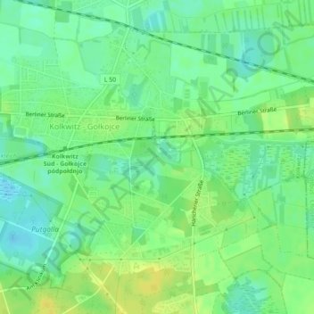
Name: D 19 topographic map, elevation, terrain.
Location: D 19, Kolkwitz, Spree-Neiße, Brandemburgo, 03099, Alemania (51.74626 14.25494 51.74636 14.25504)
Average elevation: 66 m
Minimum elevation: 56 m
Maximum elevation: 77 m