
Waddy topographic map
Interactive map
Click on the map to display elevation.
About this map
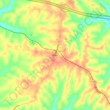
Name: Waddy topographic map, elevation, terrain.
Location: Waddy, Shelby County, Kentucky, 40076, United States (38.11702 -85.09440 38.15702 -85.05440)
Average elevation: 260 m
Minimum elevation: 228 m
Maximum elevation: 280 m
Other topographic maps
Click on a map to view its topography, its elevation and its terrain.