
Katraj Ghat topographic map
Interactive map
Click on the map to display elevation.
About this map
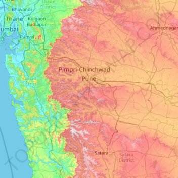
Name: Katraj Ghat topographic map, elevation, terrain.
Location: Katraj Ghat, Bhor, Pune District, Maharashtra, 411041, India (17.40020 72.85754 19.40020 74.85754)
Average elevation: 478 m
Minimum elevation: -2 m
Maximum elevation: 1,430 m