
Folkton topographic map
Interactive map
Click on the map to display elevation.
About this map
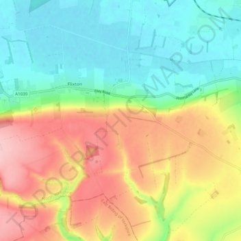
Name: Folkton topographic map, elevation, terrain.
Location: Folkton, Flixton, North Yorkshire, England, United Kingdom (54.16886 -0.43748 54.21878 -0.34022)
Average elevation: 85 m
Minimum elevation: 21 m
Maximum elevation: 175 m
North Yorkshire trails, hiking, mountain biking, running and outdoor activities