
Shottsville topographic map
Interactive map
Click on the map to display elevation.
About this map
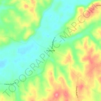
Name: Shottsville topographic map, elevation, terrain.
Location: Shottsville, Marion County, Alabama, United States (34.24093 -88.14726 34.28093 -88.10726)
Average elevation: 161 m
Minimum elevation: 121 m
Maximum elevation: 217 m
Other topographic maps
Click on a map to view its topography, its elevation and its terrain.