
Panwila topographic map
Interactive map
Click on the map to display elevation.
About this map
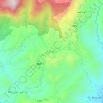
Name: Panwila topographic map, elevation, terrain.
Location: Panwila, Kandy District, Central Province, 20810, Sri Lanka (7.34168 80.69489 7.38168 80.73489)
Average elevation: 755 m
Minimum elevation: 476 m
Maximum elevation: 1,304 m