
Cuchillas topographic map
Interactive map
Click on the map to display elevation.
About this map
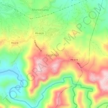
Name: Cuchillas topographic map, elevation, terrain.
Location: Cuchillas, Morovis, Estados Unidos de América (18.28543 -66.40300 18.32438 -66.36842)
Average elevation: 289 m
Minimum elevation: 138 m
Maximum elevation: 469 m