
Aïn Soltane topographic map
Interactive map
Click on the map to display elevation.
About this map
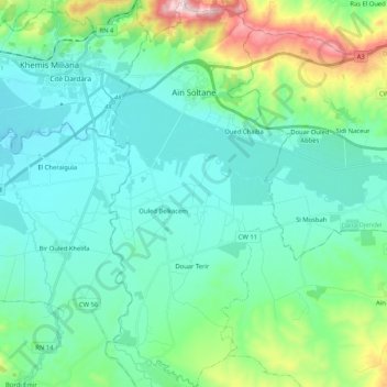
Name: Aïn Soltane topographic map, elevation, terrain.
Location: Aïn Soltane, Ain Lachiakh District, Aïn Defla, Algeria (36.12040 2.25157 36.28817 2.34945)
Average elevation: 381 m
Minimum elevation: 258 m
Maximum elevation: 877 m