
Agouni Bouafir topographic map
Interactive map
Click on the map to display elevation.
About this map
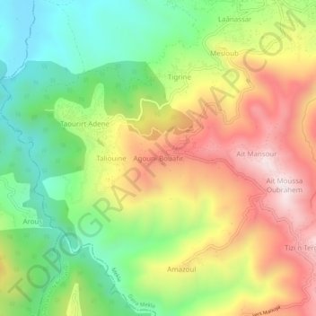
Name: Agouni Bouafir topographic map, elevation, terrain.
Location: Agouni Bouafir, Mekla, Mekla District, Tizi Ouzou, Algeria (36.64376 4.23986 36.68376 4.27986)
Average elevation: 465 m
Minimum elevation: 142 m
Maximum elevation: 858 m