
Pērse topographic map
Interactive map
Click on the map to display elevation.
About this map
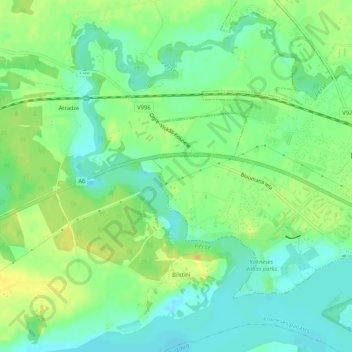
Name: Pērse topographic map, elevation, terrain.
Location: Pērse, Koknese, Aizkraukles novads, Zemgale, LV-5113, Lettonie (56.63483 25.39301 56.66066 25.44528)
Average elevation: 85 m
Minimum elevation: 72 m
Maximum elevation: 100 m