
Kagam topographic map
Interactive map
Click on the map to display elevation.
About this map
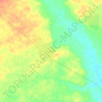
Name: Kagam topographic map, elevation, terrain.
Location: Kagam, Kéita, Tahoua, Niger (14.69136 6.38488 14.73136 6.42488)
Average elevation: 401 m
Minimum elevation: 376 m
Maximum elevation: 423 m