
Grand River South-East topographic map
Interactive map
Click on the map to display elevation.
About this map
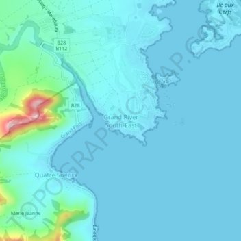
Name: Grand River South-East topographic map, elevation, terrain.
Location: Grand River South-East, Flacq, 42211, Mauritius (-20.31072 57.76519 -20.27072 57.80519)
Average elevation: 22 m
Minimum elevation: -1 m
Maximum elevation: 220 m