
Mkata topographic map
Interactive map
Click on the map to display elevation.
About this map
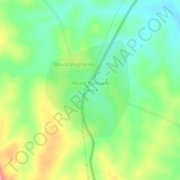
Name: Mkata topographic map, elevation, terrain.
Location: Mkata, Handeni, Tanga Region, Northern Zone, Tanzania (-5.80704 38.27165 -5.76704 38.31165)
Average elevation: 415 m
Minimum elevation: 369 m
Maximum elevation: 491 m