
Birkfeld topographic map
Interactive map
Click on the map to display elevation.
About this map
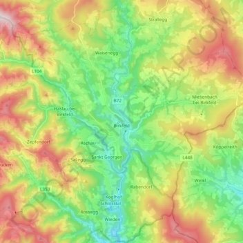
Name: Birkfeld topographic map, elevation, terrain.
Location: Birkfeld, Bezirk Weiz, Steiermark, 8190, Österreich (47.29436 15.58581 47.42177 15.74950)
Average elevation: 862 m
Minimum elevation: 494 m
Maximum elevation: 1,428 m