
Moratín topographic map
Interactive map
Click on the map to display elevation.
About this map
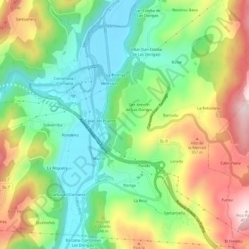
Name: Moratín topographic map, elevation, terrain.
Location: Moratín, Salas, Asturies, 33858, Espagne (43.38441 -6.16555 43.42441 -6.12555)
Average elevation: 199 m
Minimum elevation: 34 m
Maximum elevation: 450 m