
Verger topographic map
Interactive map
Click on the map to display elevation.
About this map
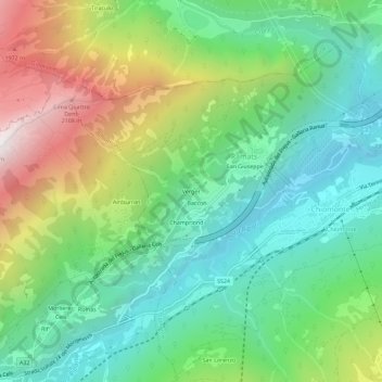
Name: Verger topographic map, elevation, terrain.
Location: Verger, Ramats, Chiomonte, Turín, Piamonte, Italia (45.10140 6.94461 45.14140 6.98461)
Average elevation: 1,188 m
Minimum elevation: 634 m
Maximum elevation: 2,283 m