
Figueiredo topographic map
Interactive map
Click on the map to display elevation.
About this map
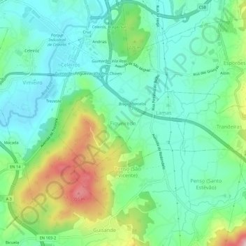
Name: Figueiredo topographic map, elevation, terrain.
Location: Figueiredo, Braga, 4705-719, Portugal (41.47978 -8.46177 41.51978 -8.42177)
Average elevation: 190 m
Minimum elevation: 116 m
Maximum elevation: 369 m