
Kapu Mahallesi topographic map
Interactive map
Click on the map to display elevation.
About this map
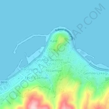
Name: Kapu Mahallesi topographic map, elevation, terrain.
Location: Kapu Mahallesi, Giresun, Région de la mer Noire, Turquie (40.91639 38.38633 40.91947 38.38969)
Average elevation: 42 m
Minimum elevation: 0 m
Maximum elevation: 275 m
Other topographic maps
Click on a map to view its topography, its elevation and its terrain.