
Charef topographic map
Interactive map
Click on the map to display elevation.
About this map
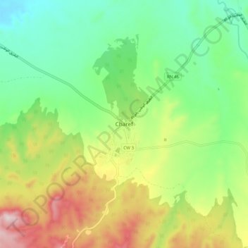
Name: Charef topographic map, elevation, terrain.
Location: Charef, Charef District, Djelfa, 17015, Algeria (34.58709 2.76592 34.66709 2.84592)
Average elevation: 1,131 m
Minimum elevation: 957 m
Maximum elevation: 1,428 m