
Berriane topographic map
Interactive map
Click on the map to display elevation.
About this map
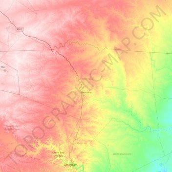
Name: Berriane topographic map, elevation, terrain.
Location: Berriane, Berriane District, Ghardaia, Algeria (32.63957 3.21170 33.07101 4.17307)
Average elevation: 596 m
Minimum elevation: 357 m
Maximum elevation: 805 m