
Cheurfa topographic map
Interactive map
Click on the map to display elevation.
About this map
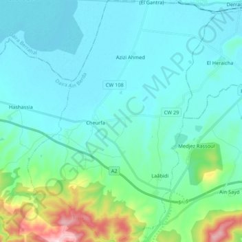
Name: Cheurfa topographic map, elevation, terrain.
Location: Cheurfa, Ain Berda District, Annaba, Algeria (36.65623 7.50944 36.78778 7.63757)
Average elevation: 63 m
Minimum elevation: 7 m
Maximum elevation: 356 m