
Bouhadjar topographic map
Interactive map
Click on the map to display elevation.
About this map
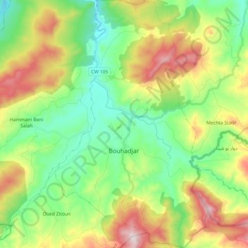
Name: Bouhadjar topographic map, elevation, terrain.
Location: Bouhadjar, Bouhadjar District, El Tarf, Algeria (36.44684 8.05632 36.59006 8.16710)
Average elevation: 412 m
Minimum elevation: 159 m
Maximum elevation: 868 m