
Bikong topographic map
Interactive map
Click on the map to display elevation.
About this map
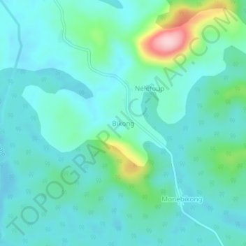
Name: Bikong topographic map, elevation, terrain.
Location: Bikong, Mvila, SU, Cameroun (2.60122 11.73296 2.64122 11.77296)
Average elevation: 610 m
Minimum elevation: 567 m
Maximum elevation: 795 m