
Coto topographic map
Interactive map
Click on the map to display elevation.
About this map
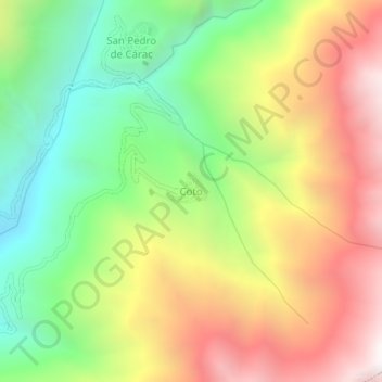
Name: Coto topographic map, elevation, terrain.
Location: Coto, Provincia de Huaral, Lima, Perú (-11.22730 -76.79366 -11.18730 -76.75366)
Average elevation: 3,049 m
Minimum elevation: 2,192 m
Maximum elevation: 4,055 m