
Tanjung Agas topographic map
Interactive map
Click on the map to display elevation.
About this map
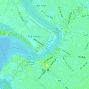
Name: Tanjung Agas topographic map, elevation, terrain.
Location: Tanjung Agas, Johor, 84000, Malaysia (2.03382 102.54541 2.07382 102.58541)
Average elevation: 6 m
Minimum elevation: 0 m
Maximum elevation: 18 m