
Iria Flavia topographic map
Interactive map
Click on the map to display elevation.
About this map
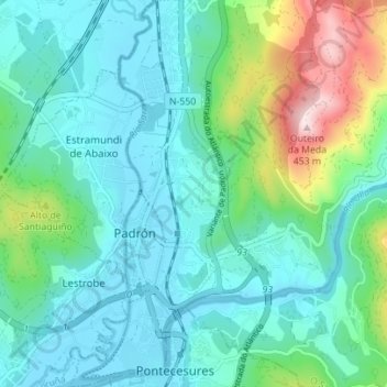
Name: Iria Flavia topographic map, elevation, terrain.
Location: Iria Flavia, Padrón, O Sar, A Corogne, Galice, Espagne (42.71859 -8.67206 42.76977 -8.62589)
Average elevation: 92 m
Minimum elevation: -1 m
Maximum elevation: 435 m
Other topographic maps
Click on a map to view its topography, its elevation and its terrain.