
Britswert topographic map
Interactive map
Click on the map to display elevation.
About this map
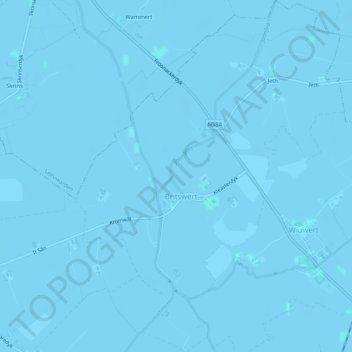
Name: Britswert topographic map, elevation, terrain.
Location: Britswert, Südwestfriesland, Friesland, Niederlande (53.09884 5.65648 53.12987 5.69610)
Average elevation: -1 m
Minimum elevation: -3 m
Maximum elevation: 2 m
Other topographic maps
Click on a map to view its topography, its elevation and its terrain.
De Marne
Niederlande > Friesland > Südwestfriesland
De Marne, Südwestfriesland, Friesland, Niederlande, 8744ES, Niederlande
Average elevation: -1 m