
Kondar topographic map
Interactive map
Click on the map to display elevation.
About this map
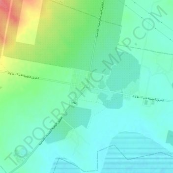
Name: Kondar topographic map, elevation, terrain.
Location: Kondar, كندار, معتمدية كندار, Sousse, 4020, Tunisia (35.91257 10.28012 35.95257 10.32012)
Average elevation: 31 m
Minimum elevation: 12 m
Maximum elevation: 82 m