
Kili topographic map
Interactive map
Click on the map to display elevation.
About this map
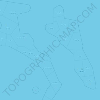
Name: Kili topographic map, elevation, terrain.
Location: Kili, Ralik Chain, Marshall Islands (4.91978 164.98932 11.91656 169.53688)
Average elevation: 0 m
Minimum elevation: 0 m
Maximum elevation: 14 m
Other topographic maps
Click on a map to view its topography, its elevation and its terrain.