
Prigorec topographic map
Interactive map
Click on the map to display elevation.
About this map
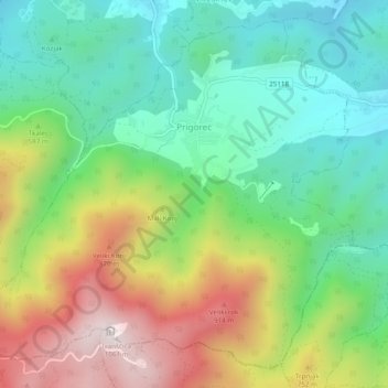
Name: Prigorec topographic map, elevation, terrain.
Location: Prigorec, Grad Ivanec, Varaždin County, Croatia (46.17885 16.10842 46.20888 16.15674)
Average elevation: 546 m
Minimum elevation: 255 m
Maximum elevation: 1,049 m