
Río Orthon topographic map
Interactive map
Click on the map to display elevation.
About this map
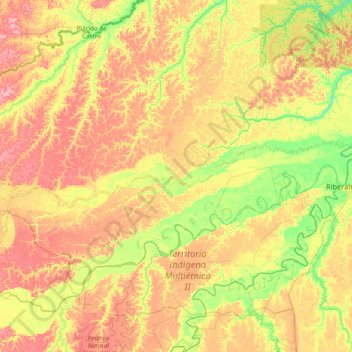
Name: Río Orthon topographic map, elevation, terrain.
Location: Río Orthon, Provincia de Abuná, PND, Bolivien (-11.10419 -67.55917 -10.80128 -65.99926)
Average elevation: 159 m
Minimum elevation: 105 m
Maximum elevation: 240 m