
Yébenes topographic map
Interactive map
Click on the map to display elevation.
About this map
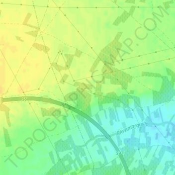
Name: Yébenes topographic map, elevation, terrain.
Location: Yébenes, Madridejos, Toledo, Castilla-La Mancha, 4500, España (39.46826 -3.58581 39.48826 -3.56581)
Average elevation: 701 m
Minimum elevation: 687 m
Maximum elevation: 712 m