
Thiesi topographic map
Interactive map
Click on the map to display elevation.
About this map
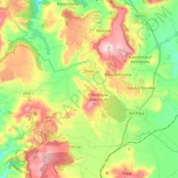
Name: Thiesi topographic map, elevation, terrain.
Location: Thiesi, Sassari, Sardinia, 07047, Italy (40.47520 8.57348 40.54873 8.74053)
Average elevation: 443 m
Minimum elevation: 231 m
Maximum elevation: 729 m
Other topographic maps
Click on a map to view its topography, its elevation and its terrain.