
Mwogo topographic map
Interactive map
Click on the map to display elevation.
About this map
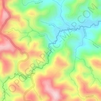
Name: Mwogo topographic map, elevation, terrain.
Location: Mwogo, Ruramba, Nyaruguru District, Southern Province, Rwanda (-2.54436 29.52682 -2.53301 29.53701)
Average elevation: 1,916 m
Minimum elevation: 1,766 m
Maximum elevation: 2,072 m