
Lac de Châteaupré topographic map
Interactive map
Click on the map to display elevation.
About this map
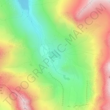
Name: Lac de Châteaupré topographic map, elevation, terrain.
Location: Lac de Châteaupré, Anniviers, Sierre, Wallis, 3961, Switzerland (46.10371 7.57896 46.10575 7.58347)
Average elevation: 2,646 m
Minimum elevation: 2,215 m
Maximum elevation: 3,150 m
Other topographic maps
Click on a map to view its topography, its elevation and its terrain.