
Llano Largo topographic map
Interactive map
Click on the map to display elevation.
About this map
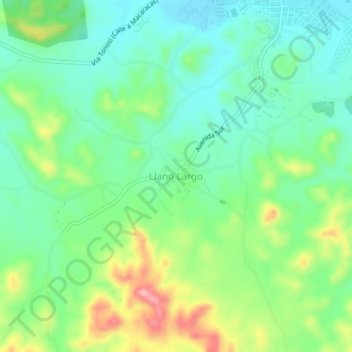
Name: Llano Largo topographic map, elevation, terrain.
Location: Llano Largo, Distrito Los Santos, Los Santos, 6040, Panama (7.88841 -80.44462 7.92841 -80.40462)
Average elevation: 64 m
Minimum elevation: 16 m
Maximum elevation: 161 m