
Brettenham Heath - Open Access Land topographic map
Interactive map
Click on the map to display elevation.
About this map
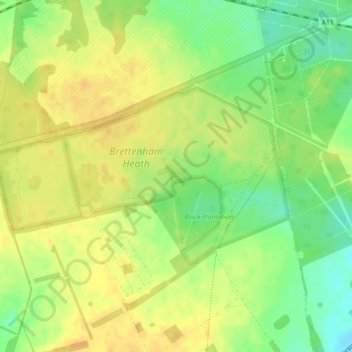
Name: Brettenham Heath - Open Access Land topographic map, elevation, terrain.
Average elevation: 40 m
Minimum elevation: 22 m
Maximum elevation: 51 m
Norfolk trails, hiking, mountain biking, running and outdoor activities