
Bayemtaman topographic map
Interactive map
Click on the map to display elevation.
About this map
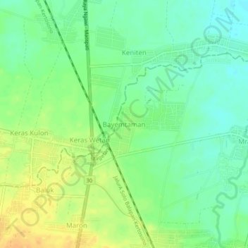
Name: Bayemtaman topographic map, elevation, terrain.
Location: Bayemtaman, Magetan, East Java, Java, 63395, Indonesia (-7.54663 111.41556 -7.50663 111.45556)
Average elevation: 62 m
Minimum elevation: 48 m
Maximum elevation: 78 m
Other topographic maps
Click on a map to view its topography, its elevation and its terrain.