
Lyster topographic map
Interactive map
Click on the map to display elevation.
About this map
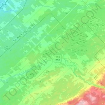
Name: Lyster topographic map, elevation, terrain.
Location: Lyster, L'Érable, Centre-du-Québec, Quebec, G0S 1V0, Canada (46.31400 -71.74133 46.45167 -71.47898)
Average elevation: 145 m
Minimum elevation: 100 m
Maximum elevation: 286 m
Other topographic maps
Click on a map to view its topography, its elevation and its terrain.
Plessisville (ville)
Plessisville (ville), L'Érable, Centre-du-Québec, Quebec, Canada
Average elevation: 153 m
Saint-Ferdinand
Saint-Ferdinand, L'Érable, Centre-du-Québec, Quebec, G0N 1N0, Canada
Average elevation: 346 m
Laurierville
Laurierville, L'Érable, Centre-du-Québec, Quebec, Canada
Average elevation: 171 m