
Garin Mâlam topographic map
Interactive map
Click on the map to display elevation.
About this map
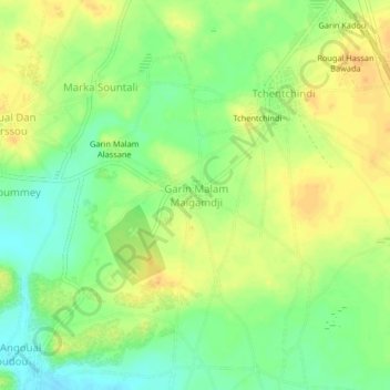
Name: Garin Mâlam topographic map, elevation, terrain.
Location: Garin Mâlam, Mirriah, Zinder, Niger (13.71840 8.96786 13.75840 9.00786)
Average elevation: 449 m
Minimum elevation: 432 m
Maximum elevation: 462 m