
Bobs Fork topographic map
Interactive map
Click on the map to display elevation.
About this map
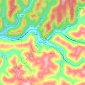
Name: Bobs Fork topographic map, elevation, terrain.
Location: Bobs Fork, Leslie County, Kentucky, 41714, United States (37.14389 -83.53861 37.18389 -83.49861)
Average elevation: 375 m
Minimum elevation: 261 m
Maximum elevation: 482 m
Other topographic maps
Click on a map to view its topography, its elevation and its terrain.
Yeaddiss
United States > Kentucky > Leslie County
Yeaddiss, Leslie County, Kentucky, 41777, United States
Average elevation: 487 m
Buckhorn Lake
United States > Kentucky > Leslie County
Buckhorn Lake, Leslie County, Kentucky, United States
Average elevation: 352 m
Hyden
United States > Kentucky > Leslie County
Hyden, Leslie County, Kentucky, United States
Average elevation: 352 m