
Eisenhofen topographic map
Interactive map
Click on the map to display elevation.
About this map
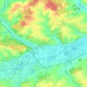
Name: Eisenhofen topographic map, elevation, terrain.
Location: Eisenhofen, Erdweg, Landkreis Dachau, Bavaria, 85253, Germany (48.32281 11.28590 48.36281 11.32590)
Average elevation: 493 m
Minimum elevation: 467 m
Maximum elevation: 532 m
Other topographic maps
Click on a map to view its topography, its elevation and its terrain.