
Porkeri topographic map
Interactive map
Click on the map to display elevation.
About this map
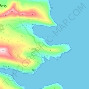
Name: Porkeri topographic map, elevation, terrain.
Location: Porkeri, Suðuroy region, 950, Faroe Islands (61.47582 -6.84513 61.50696 -6.70229)
Average elevation: 83 m
Minimum elevation: -13 m
Maximum elevation: 477 m