
Canton de Cleveland topographic map
Interactive map
Click on the map to display elevation.
About this map
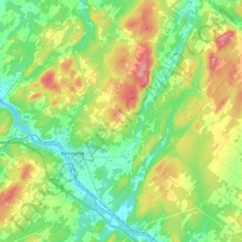
Name: Canton de Cleveland topographic map, elevation, terrain.
Average elevation: 209 m
Minimum elevation: 110 m
Maximum elevation: 393 m
Other topographic maps
Click on a map to view its topography, its elevation and its terrain.
Bonsecours
Canada > Québec > Le Val-Saint-François
Bonsecours, Le Val-Saint-François, Estrie, Québec, J0E 1H0, Canada
Average elevation: 295 m