
Saint-Cergue topographic map
Interactive map
Click on the map to display elevation.
About this map
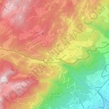
Name: Saint-Cergue topographic map, elevation, terrain.
Location: Saint-Cergue, District de Nyon, Waadt, Schweiz (46.42191 6.07280 46.48123 6.18215)
Average elevation: 1,091 m
Minimum elevation: 483 m
Maximum elevation: 1,629 m